Killington Peak
Hike from Brewers Corner to the Killington Peak via Bucklin Trail and the Brewers Brook in the Rutland City Forest, the Coolidge State Forest and the Green Mountain National Forest. #Hike #Mountain #Forest #Nature
- Distance : 6,7 Km
- Dénivelé positif : 738 m
- Altitude maximum : 1 278 m
- Dénivelé négatif : 29 m
- Altitude minimum : 550 m
- Temps en mouvement : 1 h 50 m
- Vitesse en mouvement : 3,7 Km/h
- Vitesse maximum : 13,1 Km/h
- Temps total : 2 h 6 m
- Vitesse globale : 3,2 Km/h
- Date : 2019-09-01
Carte interactive
Profil de la trace GPS
À propos de cette trace GPS
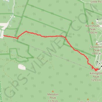
Nom : Trace GPS Killington Peak, itinéraire, parcours
Coordonnées : 43.60426 -72.87651 43.62155 -72.81882
Autres traces GPS
Cliquez sur une trace GPS pour visualiser son itinéraire, ses statistiques et son profil.