Mayflower Lake, Continental Falls and Mohawk Lakes
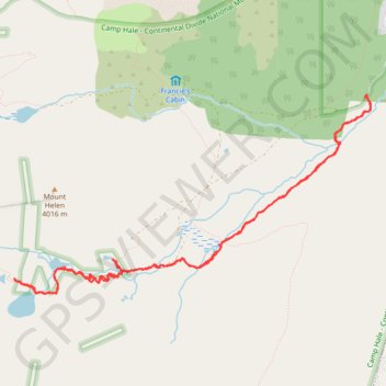
Carte interactive
Profil de la trace GPS
À propos de cette trace GPS
Nom : Trace GPS Mayflower Lake, Continental Falls and Mohawk Lakes, itinéraire, parcours
Coordonnées : 39.41904 -106.09223 39.43743 -106.05001
Autres traces GPS
Cliquez sur une trace GPS pour visualiser son itinéraire, ses statistiques et son profil.