Alberta Falls
Carte interactive
Profil de la trace GPS
À propos de cette trace GPS
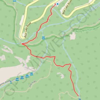
Nom : Trace GPS Alberta Falls, itinéraire, parcours
Coordonnées : 40.30392 -105.64346 40.31051 -105.63817
Autres traces GPS
Cliquez sur une trace GPS pour visualiser son itinéraire, ses statistiques et son profil.
Bear Lake to Timberline Falls Loop
United States > Colorado > Larimer County
Loop hike from Bear Lake to Timberline Falls via Emerald Lake Trail, Nymph Lake, Dream Lake, Lake Haiyaha, Sky Pond Trail, The Loch, Glacier Gorge Trail and Alberta Falls in the Rocky Mountain National Park. #Hike #Loop #Mountain #Nature #Lake #Forest #Falls #River #Park
Distance : 15,6 Km • Dénivelé positif : 712 m • Altitude maximum : 3 281 m