Red Cathedral and Zabriskie Point Loop
Loop hike to Red Cathedral and Zabriskie Point via the Golden Canyon Trail, the Gower Gulch Trail and Badlands Loop in the Death Valley National Park. #Hike #Loop #Mountain #Nature #Desert #Park
- Distance : 11,6 Km
- Dénivelé positif : 417 m
- Altitude maximum : 205 m
- Dénivelé négatif : 419 m
- Altitude minimum : -50 m
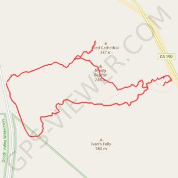
Carte interactive
Profil de la trace GPS
À propos de cette trace GPS
Nom : Trace GPS Red Cathedral and Zabriskie Point Loop, itinéraire, parcours
Arrivée : Gower Gulch Trail, Inyo County, California, 92328, United States (36.42045 -116.84674)
Coordonnées : 36.41103 -116.84674 36.42792 -116.81055
Autres traces GPS
Cliquez sur une trace GPS pour visualiser son itinéraire, ses statistiques et son profil.